The hiking and mountain biking microsites on the website www.visitvaldaran.com have been improved since September in the thematic sections of the maps, which allow easier identification of the routes, as they are classified by difficulty with their geographical location.
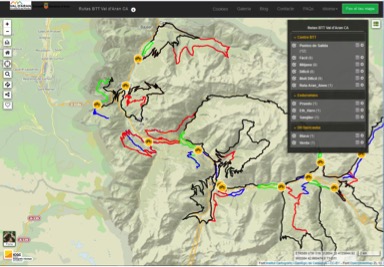
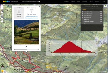
Through the Instamaps platform, in each of the activities (BTT and Hiking) we find a map of the Val d’Aran where the proposed routes and itineraries are identified. Clicking on a route opens a window where we find its main characteristics: name, difficulty, distance, image and link to the description of the route. The main actions we can do in each map are:
- Select/deselect layers
- Maximize the pop-up window.
 Measure distances on the map
- Change the background base (relief map, topographic map, image, satellite,…)
- Select a route and go to the link to download its description and generate its topographic profile.
The Instamaps tool allows you to make quick updates so that, progressively, we incorporate new information about routes, as well as new tools in the different thematic maps.
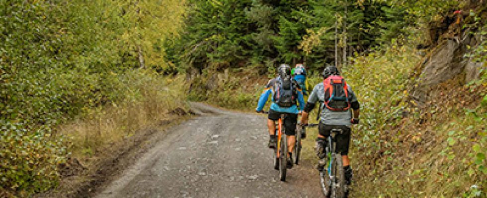
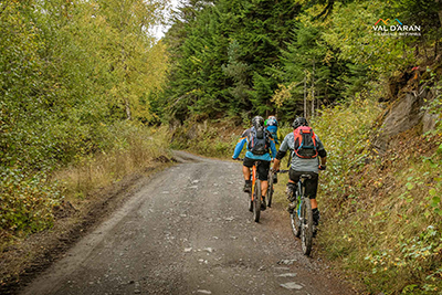
MTB CENTER MAP (ARAN TOTAL BIKE)
It also includes the updated routes of the MTB Centre (34) with its departure points (12), the Enduro de Enduromies routes (3) and the Baricauba DH routes (2).
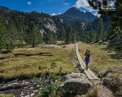
HIKING MAP
It includes signposted routes (24) organized by difficulty, ascents to the most representative tucs (6) and location of mountain refuges and tourist offices.
 Translated with www.DeepL.com/Translator


